
Friendship topographic map
Interactive map
Click on the map to display elevation.
About this map
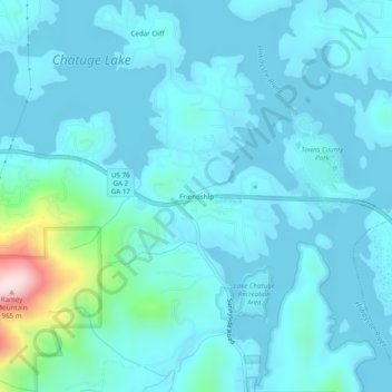
Name: Friendship topographic map, elevation, terrain.
Location: Friendship, Towns County, Georgia, United States (34.94398 -83.80712 34.98398 -83.76712)
Average elevation: 2,051 ft
Minimum elevation: 1,906 ft
Maximum elevation: 3,150 ft