
Chesterton topographic map
Click on the map to display elevation.
About this map
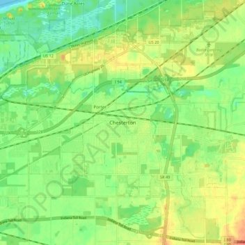
Name: Chesterton topographic map, elevation, terrain.
Location: Chesterton, Porter County, Indiana, 46304, United States (41.57059 -87.10420 41.65059 -87.02420)
Average elevation: 646 ft
Minimum elevation: 574 ft
Maximum elevation: 738 ft
Porter County trails, hiking, mountain biking, running and outdoor activities