
Hogenakkal topographic map
Click on the map to display elevation.
About this map
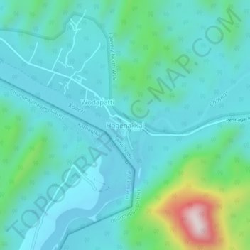
Name: Hogenakkal topographic map, elevation, terrain.
Location: Hogenakkal, Pennagaram, Dharmapuri District, Tamil Nadu, India (12.10143 77.75768 12.14143 77.79768)
Average elevation: 1,102 ft
Minimum elevation: 764 ft
Maximum elevation: 2,677 ft