
Chhatia topographic map
Click on the map to display elevation.
About this map
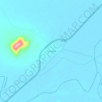
Name: Chhatia topographic map, elevation, terrain.
Location: Chhatia, Badachana, Jajpur District, Odisha, 754023, India (20.58997 86.04260 20.62997 86.08260)
Average elevation: 69 ft
Minimum elevation: 39 ft
Maximum elevation: 591 ft