Geolocate

Antioch topographic map

Click on the map to display elevation.

About this map

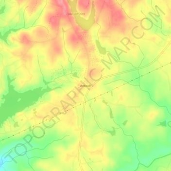
Name: Antioch topographic map, elevation, terrain.

Location: Antioch, Harris County, Georgia, United States (32.65763 -85.07827 32.69763 -85.03827)

Average elevation: 574 ft

Minimum elevation: 407 ft

Maximum elevation: 702 ft

Harris County trails, hiking, mountain biking, running and outdoor activities

Other topographic maps

Click on a map to view its topography, its elevation and its terrain.

Whitesville

United States > Georgia > Harris County

Average elevation: 682 ft

Hamilton

United States > Georgia > Harris County

Average elevation: 810 ft

Shiloh

United States > Georgia > Harris County

Average elevation: 866 ft

Waverly Hall

United States > Georgia > Harris County

Average elevation: 712 ft

Pine Mountain

United States > Georgia > Harris County

Average elevation: 899 ft

Gear up for your next adventure:

🏕️Tent Footprint - Protect your tent base from wear
🪶Survival Guide Book - Expert advice for emergency preparedness
🎒Trail Energy Bars - High‑calorie bars for hiking energy
💧Water Filtration Bottles - Safely drink from streams and lakes while exploring
☀️Outdoor Sunscreen - High protection sunscreen for outdoor activities

As an Amazon Associate, this site earns from qualifying purchases at no extra cost to you.