Geolocate

Tagpuro topographic map

Click on the map to display elevation.

About this map

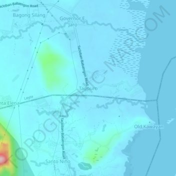
Name: Tagpuro topographic map, elevation, terrain.

Location: Tagpuro, Tacloban, Leyte, Eastern Visayas, Philippines (11.32445 124.93511 11.36445 124.97511)

Average elevation: 39 ft

Minimum elevation: -10 ft

Maximum elevation: 725 ft

Gear up for your next adventure:

📱Heavy-Duty Phone Cases - Drop-proof and waterproof protection for outdoor navigation
🧥Men's Rain Shells - Premium waterproof and breathable jackets for mountain weather
👖Convertible Hiking Pants - Versatile zip-off pants for changing altitudes and temperatures
🧭Orienteering Set - Complete compass and map reading kit
🛡️Bear Spray Outdoor - Protection in bear country hikes

As an Amazon Associate, this site earns from qualifying purchases at no extra cost to you.