
Nalyankanja topographic map
Click on the map to display elevation.
About this map
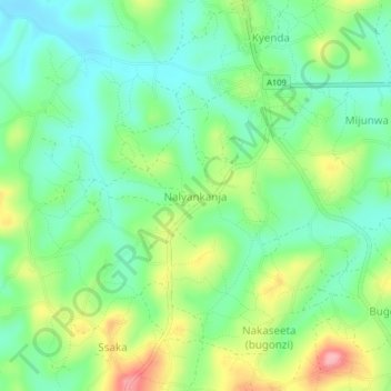
Name: Nalyankanja topographic map, elevation, terrain.
Location: Nalyankanja, Mubende, Central Region, Uganda (0.46466 31.48212 0.50466 31.52212)
Average elevation: 4,193 ft
Minimum elevation: 4,045 ft
Maximum elevation: 4,472 ft