
Thank you for supporting this site ❤️
Make a donation
Make a donation
Gear up for your next adventure:
As an Amazon Associate, this site earns from qualifying purchases at no extra cost to you.
Mugobwa A topographic map
Click on the map to display elevation.
Thank you for supporting this site ❤️
Make a donation
Make a donation
Gear up for your next adventure:
As an Amazon Associate, this site earns from qualifying purchases at no extra cost to you.
About this map
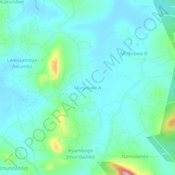
Name: Mugobwa A topographic map, elevation, terrain.
Location: Mugobwa A, Kassanda, Central Region, Uganda (0.73695 31.71777 0.77695 31.75777)
Average elevation: 3,839 ft
Minimum elevation: 3,707 ft
Maximum elevation: 4,439 ft
Thank you for supporting this site ❤️
Make a donation
Make a donation
Gear up for your next adventure:
As an Amazon Associate, this site earns from qualifying purchases at no extra cost to you.