Geolocate

Howe Valley topographic map

Click on the map to display elevation.

About this map

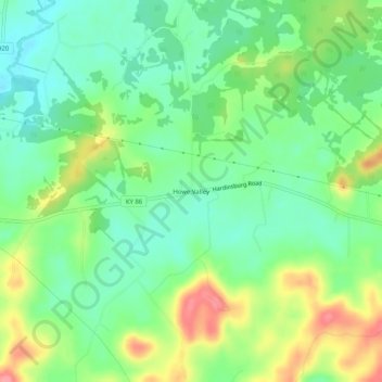
Name: Howe Valley topographic map, elevation, terrain.

Location: Howe Valley, Hardin County, Kentucky, United States (37.66728 -86.10830 37.70728 -86.06830)

Average elevation: 725 ft

Minimum elevation: 617 ft

Maximum elevation: 902 ft

Hardin County trails, hiking, mountain biking, running and outdoor activities

Other topographic maps

Click on a map to view its topography, its elevation and its terrain.

Sonora

United States > Kentucky > Hardin County

Average elevation: 725 ft

West Point

United States > Kentucky > Hardin County

Average elevation: 535 ft

Vine Grove

United States > Kentucky > Hardin County

Average elevation: 715 ft

Upton

United States > Kentucky > Hardin County

Average elevation: 755 ft

Gear up for your next adventure:

🧭Pro Hiking Compasses - High-accuracy liquid-filled compasses for topographic orientation
🧢Sun Protection Hats - Wide-brimmed and UPF-rated hats for high-altitude sun safety
📚Navigation Handbooks - Master the art of reading topographic maps and using a compass
🥄Camping Utensil Set - Lightweight utensils for outdoor meals
📶Satellite Messenger - Communication device off‑grid

As an Amazon Associate, this site earns from qualifying purchases at no extra cost to you.