
La Romaine topographic map
Interactive map
Click on the map to display elevation.
About this map
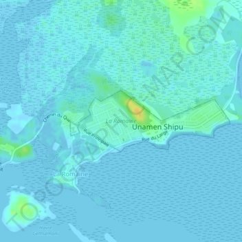
Name: La Romaine topographic map, elevation, terrain.
Location: La Romaine, Unamen Shipu, Côte-Nord, Quebec, Canada (50.21554 -60.67636 50.22236 -60.64846)
Average elevation: 10 ft
Minimum elevation: -10 ft
Maximum elevation: 75 ft