Geolocate

Debre Markos topographic map

Click on the map to display elevation.

Debre Markos

Debre Markos is located 300 km north-west of Addis Ababa along the Addis Ababa-Gondar road at an elevation of over 2400 meters.

Wikipedia (CC-BY-SA 3.0)

About this map

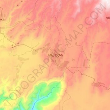
Name: Debre Markos topographic map, elevation, terrain.

Location: Debre Markos, Guzamn, East Gojjam, Amhara Region, Ethiopia (10.17569 37.56881 10.49569 37.88881)

Average elevation: 7,687 ft

Minimum elevation: 4,524 ft

Maximum elevation: 10,102 ft

Gear up for your next adventure:

📖Nature Tracking Books - Learn to track wildlife and terrain
🧢Outdoor Hiking Hat - Sun protection hat for outdoor explorers
🪶Survival Guide Book - Expert advice for emergency preparedness
🔋Rechargeable Batteries - Power up your outdoor devices
🛰️Handheld GPS Units - Professional satellite navigators for precise backcountry mapping

As an Amazon Associate, this site earns from qualifying purchases at no extra cost to you.