
Radcliffe topographic map
Click on the map to display elevation.
About this map
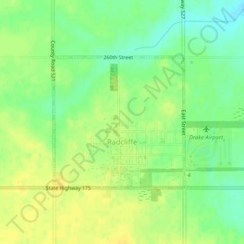
Name: Radcliffe topographic map, elevation, terrain.
Location: Radcliffe, Hardin County, Iowa, United States (42.31048 -93.44414 42.32495 -93.42447)
Average elevation: 1,188 ft
Minimum elevation: 1,142 ft
Maximum elevation: 1,220 ft
Hardin County trails, hiking, mountain biking, running and outdoor activities
Other topographic maps
Click on a map to view its topography, its elevation and its terrain.