
Thank you for supporting this site ❤️
Make a donation
Make a donation
Gear up for your next adventure:
As an Amazon Associate, this site earns from qualifying purchases at no extra cost to you.
中排村榨哨组 topographic map
Click on the map to display elevation.
Thank you for supporting this site ❤️
Make a donation
Make a donation
Gear up for your next adventure:
As an Amazon Associate, this site earns from qualifying purchases at no extra cost to you.
About this map
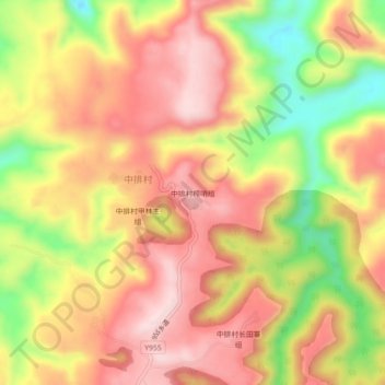
Name: 中排村榨哨组 topographic map, elevation, terrain.
Location: 中排村榨哨组, 中排村, Longli, Qiannan, Guizhou, 558000, China (26.36888 106.89240 26.40888 106.93240)
Average elevation: 4,980 ft
Minimum elevation: 4,344 ft
Maximum elevation: 5,413 ft
Thank you for supporting this site ❤️
Make a donation
Make a donation
Gear up for your next adventure:
As an Amazon Associate, this site earns from qualifying purchases at no extra cost to you.