
Hernando topographic map
Click on the map to display elevation.
About this map
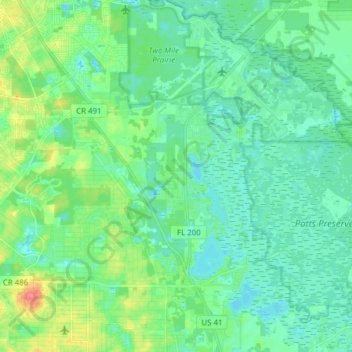
Name: Hernando topographic map, elevation, terrain.
Location: Hernando, Citrus County, Florida, United States (28.87298 -82.42795 29.00788 -82.31169)
Average elevation: 66 ft
Minimum elevation: 10 ft
Maximum elevation: 246 ft
Citrus County trails, hiking, mountain biking, running and outdoor activities
Other topographic maps
Click on a map to view its topography, its elevation and its terrain.