Geolocate

Cimincrang topographic map

Click on the map to display elevation.

About this map

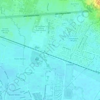
Name: Cimincrang topographic map, elevation, terrain.

Location: Cimincrang, Gedebage, Bandung, West Java, Java, Indonesia (-6.95556 107.69498 -6.93594 107.71338)

Average elevation: 2,188 ft

Minimum elevation: 2,169 ft

Maximum elevation: 2,270 ft

Other topographic maps

Click on a map to view its topography, its elevation and its terrain.

Sungai penuh sampah

Indonesia > West Java > Bandung > Situ Saeur

Average elevation: 2,257 ft

Gear up for your next adventure:

GPS Sports Watch - GPS watch for running, hiking and training
🧭Hiking Compass - Precision compass for reliable navigation in the wilderness
Solar GPS Watches - Advanced multisport watches with built-in topographic maps
📌Outdoor GPS Map App - Apps and devices for digital topographic navigation
📚Navigation Handbooks - Master the art of reading topographic maps and using a compass

As an Amazon Associate, this site earns from qualifying purchases at no extra cost to you.