
Kota topographic map
Click on the map to display elevation.
About this map
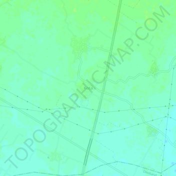
Name: Kota topographic map, elevation, terrain.
Location: Kota, Saharanpur, Uttar Pradesh, India (29.87231 77.62035 29.91231 77.66035)
Average elevation: 892 ft
Minimum elevation: 876 ft
Maximum elevation: 906 ft