
Lake Santeetlah topographic map
Interactive map
Click on the map to display elevation.
About this map
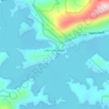
Name: Lake Santeetlah topographic map, elevation, terrain.
Average elevation: 2,103 ft
Minimum elevation: 1,929 ft
Maximum elevation: 3,146 ft
Other topographic maps
Click on a map to view its topography, its elevation and its terrain.
Robbinsville
United States > North Carolina > Graham County
Robbinsville, Graham County, North Carolina, United States
Average elevation: 2,100 ft
Fontana Village
United States > North Carolina > Graham County
Fontana Village, Fontana Dam, Graham County, North Carolina, 28733, United States
Average elevation: 2,198 ft
Junction
United States > North Carolina > Graham County
Junction, Graham County, North Carolina, United States
Average elevation: 3,314 ft
Lake Santeetlah
United States > North Carolina > Graham County > Lake Santeetlah
Lake Santeetlah, Graham County, North Carolina, United States
Average elevation: 2,083 ft