
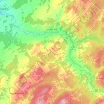
Sainte-Claire topographic map
Interactive map
Click on the map to display elevation.
About this map
Name: Sainte-Claire topographic map, elevation, terrain.
Average elevation: 873 ft
Minimum elevation: 449 ft
Maximum elevation: 1,381 ft
Other topographic maps
Click on a map to view its topography, its elevation and its terrain.
Honfleur
Canada > Quebec > Bellechasse
Honfleur, Bellechasse, Chaudière-Appalaches, Quebec, G0R 1N0, Canada
Average elevation: 705 ft
Saint-Anselme
Canada > Quebec > Bellechasse
Saint-Anselme, Bellechasse, Chaudière-Appalaches, Quebec, G0R 2N0, Canada
Average elevation: 538 ft