
Scandeluzza topographic map
Click on the map to display elevation.
About this map
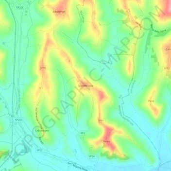
Name: Scandeluzza topographic map, elevation, terrain.
Location: Scandeluzza, Montiglio Monferrato, Asti, Piemonte, 14026, Italia (45.02641 8.11438 45.06641 8.15438)
Average elevation: 669 ft
Minimum elevation: 518 ft
Maximum elevation: 955 ft