
Gamis topographic map
Click on the map to display elevation.
About this map
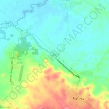
Name: Gamis topographic map, elevation, terrain.
Location: Gamis, Quirino, Cagayan Valley, Philippines (16.48680 121.55665 16.52680 121.59665)
Average elevation: 404 ft
Minimum elevation: 315 ft
Maximum elevation: 584 ft
Other topographic maps
Click on a map to view its topography, its elevation and its terrain.