Geolocate

Huila topographic map

Click on the map to display elevation.

About this map

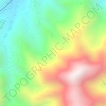
Name: Huila topographic map, elevation, terrain.

Location: Huila, La Plata, Occidente, Huila, Colombia (2.43689 -76.00471 2.45689 -75.98471)

Average elevation: 6,749 ft

Minimum elevation: 5,295 ft

Maximum elevation: 8,455 ft

Gear up for your next adventure:

🎒Trekking Poles - Sturdy poles for balance and stability on rough terrain
🏫Relief Map Kits - Hands-on tools for teaching landforms and elevation
🧭Map Reading Tools - Tools and kits for map navigation
📖Nature Tracking Books - Learn to track wildlife and terrain
💧Water Purification System - Clean water on the trail with reliable purifiers

As an Amazon Associate, this site earns from qualifying purchases at no extra cost to you.