
官桥村 topographic map
Interactive map
Click on the map to display elevation.
About this map
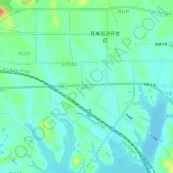
Name: 官桥村 topographic map, elevation, terrain.
Location: 官桥村, 黄石市, 湖北省, 中国 (29.84765 115.15372 29.88765 115.19372)
Average elevation: 89 ft
Minimum elevation: 30 ft
Maximum elevation: 289 ft
Other topographic maps
Click on a map to view its topography, its elevation and its terrain.