
黄荆山脉 topographic map
Interactive map
Click on the map to display elevation.
About this map
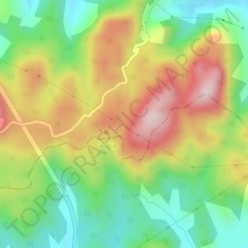
Name: 黄荆山脉 topographic map, elevation, terrain.
Location: 黄荆山脉, 黄石市, 湖北省, 435000, 中国 (30.18738 115.10633 30.18748 115.10643)
Average elevation: 699 ft
Minimum elevation: 125 ft
Maximum elevation: 1,421 ft
Other topographic maps
Click on a map to view its topography, its elevation and its terrain.