Geolocate

Hyatt topographic map

Click on the map to display elevation.

About this map

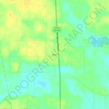
Name: Hyatt topographic map, elevation, terrain.

Location: Hyatt, Tyler County, Texas, 77664, United States (30.55548 -94.42242 30.59548 -94.38242)

Average elevation: 128 ft

Minimum elevation: 85 ft

Maximum elevation: 177 ft

Tyler County trails, hiking, mountain biking, running and outdoor activities

Other topographic maps

Click on a map to view its topography, its elevation and its terrain.

Woodville

United States > Texas > Tyler County

Average elevation: 276 ft

Barlow Lake

United States > Texas > Tyler County

Average elevation: 79 ft

Gear up for your next adventure:

🧤Hiking Gloves - Protective gloves for rugged trails
💧Water Purification System - Clean water on the trail with reliable purifiers
GPS Sports Watch - GPS watch for running, hiking and training
📡GPS Antenna Upgrade - Enhance GPS reception in remote terrain
🪶Wildlife Field Guides - Learn animal tracking and species ID

As an Amazon Associate, this site earns from qualifying purchases at no extra cost to you.