
Placerville topographic map
Click on the map to display elevation.
Placerville
The region east of Placerville, popularly known as Apple Hill and Pleasant Valley, is becoming a center for wine production. The wine region is officially designated as the El Dorado AVA. The largest wineries in the area are Boeger, Lava Cap and Madrona, but most of the 30 plus wineries surrounding Placerville are family owned and smaller in wine grape and wine production. The region is "renown for making vibrantly flavorful, distinctly delicious wines, grown in the dramatic elevations of the Sierra Nevada." The area is increasingly a center for sophisticated production of Rhone style wines, noted by El Dorado County having a local chapter of the Rhone Rangers winemaker association.
About this map
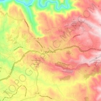
Name: Placerville topographic map, elevation, terrain.
Location: Placerville, El Dorado County, California, United States (38.71286 -120.85147 38.74854 -120.75050)
Average elevation: 1,926 ft
Minimum elevation: 869 ft
Maximum elevation: 2,648 ft
California trails, hiking, mountain biking, running and outdoor activities