
Compin topographic map
Click on the map to display elevation.
About this map
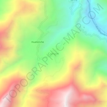
Name: Compin topographic map, elevation, terrain.
Location: Compin, Marmot, Gran Chimú, La Libertad, Perú (-7.71864 -78.64587 -7.67864 -78.60587)
Average elevation: 5,584 ft
Minimum elevation: 3,428 ft
Maximum elevation: 8,146 ft