Geolocate

Nursery topographic map

Click on the map to display elevation.

About this map

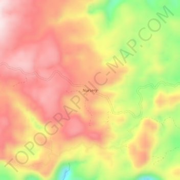
Name: Nursery topographic map, elevation, terrain.

Location: Nursery, Baganga, Davao Oriental, Davao Region, Philippines (7.45184 126.42090 7.49184 126.46090)

Average elevation: 2,536 ft

Minimum elevation: 1,634 ft

Maximum elevation: 3,107 ft

Gear up for your next adventure:

🧭Map Reading Tools - Tools and kits for map navigation
🕶️Glacier Sunglasses - Side shields to protect eyes from high-altitude snow glare
🖼️Topo Map Wall Art - Decorative topographic prints of famous peaks and regions
🔦LED Headlamp - Bright and durable LED headlamp for night navigation
🛰️Handheld GPS Units - Professional satellite navigators for precise backcountry mapping

As an Amazon Associate, this site earns from qualifying purchases at no extra cost to you.