Geolocate

Kampur topographic map

Click on the map to display elevation.

About this map

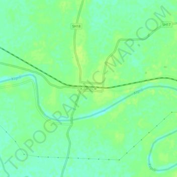
Name: Kampur topographic map, elevation, terrain.

Location: Kampur, Nagaon, Assam, 782426, India (26.14004 92.63773 26.18004 92.67773)

Average elevation: 203 ft

Minimum elevation: 180 ft

Maximum elevation: 220 ft

Gear up for your next adventure:

👖Convertible Hiking Pants - Versatile zip-off pants for changing altitudes and temperatures
🎒Gear Packing Cubes - Organize your backpack efficiently
🚑Emergency Bivvies - Heat-reflective sleeping bags for survival situations
🍳Camping Cook Set - Complete cookware for outdoor meals
🪶Compact Camp Shovel - Folding shovel for campsite tasks

As an Amazon Associate, this site earns from qualifying purchases at no extra cost to you.