Geolocate

Chikali topographic map

Click on the map to display elevation.

About this map

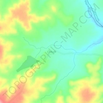
Name: Chikali topographic map, elevation, terrain.

Location: Chikali, Aurad taluku, Bidar district, Karnataka, India (18.12944 77.54516 18.16944 77.58516)

Average elevation: 1,742 ft

Minimum elevation: 1,617 ft

Maximum elevation: 1,932 ft

Gear up for your next adventure:

👟Trail Running Shoes - Lightweight shoes for trail runners
🧣Hiking Neck Gaiter - Multi‑use neck protection for outdoor weather
🥇GPS Hiking Watch - Multi‑sport GPS watch with navigation and trail tracking
🗺️NatGeo Topo Maps - High-quality waterproof printed topographic maps of US Parks
🦶Hiking Gaiters - Keep debris and water out of your boots

As an Amazon Associate, this site earns from qualifying purchases at no extra cost to you.