
Arshan topographic map
Interactive map
Click on the map to display elevation.
About this map
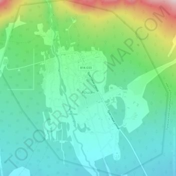
Name: Arshan topographic map, elevation, terrain.
Average elevation: 2,887 ft
Minimum elevation: 2,546 ft
Maximum elevation: 3,825 ft
Arshan is located at an altitude of 900 m in a valley at the foot of the snow-capped Sayan Range and the Tunkin Pinnacles. It is 120 km from the Kultuk railway station, 479 km from Ulan-Ude, and 210 km from Irkutsk. Arshan is built on the banks of the Kyngyrga River of the Eastern Sayan Range, which has more than 12 waterfalls. The village is the center of the Arshan rural municipal district.