

Dhamar topographic map
Click on the map to display elevation.
Dhamar
Dhamar (Arabic: ذَمَار, romanized: Ḏamār; Old South Arabian: 𐩹𐩣𐩧 Ḏmr) is a city in south-western Yemen. It is located at 14°33′0″N 44°24′6″E / 14.55000°N 44.40167°E / 14.55000; 44.40167Coordinates: 14°33′0″N 44°24′6″E / 14.55000°N 44.40167°E / 14.55000; 44.40167, at an elevation of around 2,400 m (7,900 ft).
About this map
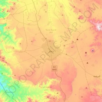
Name: Dhamar topographic map, elevation, terrain.
Location: Dhamar, Dhamar City District, Dhamar Governorate, Yemen (14.38300 44.24006 14.70300 44.56006)
Average elevation: 7,874 ft
Minimum elevation: 5,784 ft
Maximum elevation: 9,908 ft
Other topographic maps
Click on a map to view its topography, its elevation and its terrain.
