
Chip Lake topographic map
Interactive map
Click on the map to display elevation.
About this map
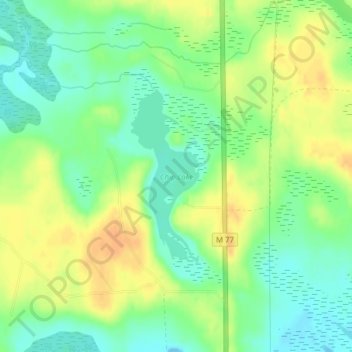
Name: Chip Lake topographic map, elevation, terrain.
Average elevation: 712 ft
Minimum elevation: 659 ft
Maximum elevation: 771 ft
Other topographic maps
Click on a map to view its topography, its elevation and its terrain.
Manistique
United States > Michigan > Schoolcraft County
Manistique, Schoolcraft County, Michigan, United States
Average elevation: 594 ft