Geolocate

Spinetta topographic map

Click on the map to display elevation.

About this map

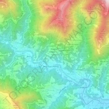
Name: Spinetta topographic map, elevation, terrain.

Location: Spinetta, Ferrada, Moconesi, Genoa, Liguria, 16047, Italy (44.40796 9.18217 44.44796 9.22217)

Average elevation: 1,178 ft

Minimum elevation: 259 ft

Maximum elevation: 3,146 ft

Gear up for your next adventure:

🦶Carbon Trekking Poles - Reduce knee impact on steep descents with ultra-light poles
📦Dry Bags Set - Waterproof storage for electronics and clothes
🥾Women's Hiking Boots - Top-rated trail boots with ankle support and superior grip
🧤Hiking Gloves - Protective gloves for rugged trails
🔦Compact Flashlight - Reliable flashlight for emergencies

As an Amazon Associate, this site earns from qualifying purchases at no extra cost to you.