
Quilchena topographic map
Interactive map
Click on the map to display elevation.
About this map
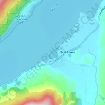
Name: Quilchena topographic map, elevation, terrain.
Location: Quilchena, British Columbia, V0E 2R0, Canada (50.14134 -120.53876 50.18134 -120.49876)
Average elevation: 2,211 ft
Minimum elevation: 2,047 ft
Maximum elevation: 3,432 ft