
Rani topographic map
Click on the map to display elevation.
About this map
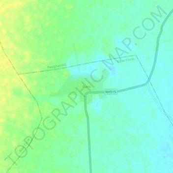
Name: Rani topographic map, elevation, terrain.
Location: Rani, Oyan Circle, East Siang, Arunachal Pradesh, India (27.94496 95.29301 27.98496 95.33301)
Average elevation: 489 ft
Minimum elevation: 459 ft
Maximum elevation: 531 ft