
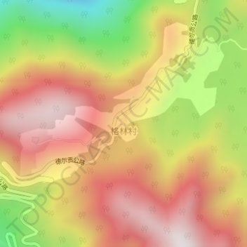
格林村 topographic map
Interactive map
Click on the map to display elevation.
About this map
Name: 格林村 topographic map, elevation, terrain.
Location: 格林村, 背崩乡, 墨脱县, 林芝市, 西藏自治区, 中国 (29.21369 95.16878 29.21778 95.17178)
Average elevation: 5,663 ft
Minimum elevation: 3,822 ft
Maximum elevation: 6,985 ft
Other topographic maps
Click on a map to view its topography, its elevation and its terrain.