Geolocate

Bao River topographic map

Click on the map to display elevation.

About this map

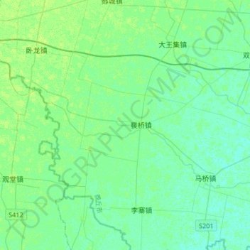
Name: Bao River topographic map, elevation, terrain.

Location: Bao River, Shangqiu City, Henan, China (33.79095 116.00312 33.90161 116.26866)

Average elevation: 115 ft

Minimum elevation: 102 ft

Maximum elevation: 131 ft

Gear up for your next adventure:

🛰️Satellite Messengers - Emergency SOS and two-way messaging for off-grid adventures
🔦Compact Flashlight - Reliable flashlight for emergencies
🗺️Topographic Maps - Detailed topo maps for hiking, exploring and outdoor navigation
🔪Outdoor Multitools - Essential survival tools for gear repair and field use
🔥Fast-Boil Camping Stoves - Efficient cooking systems for quick trail meals

As an Amazon Associate, this site earns from qualifying purchases at no extra cost to you.