Geolocate

Kent Narrows topographic map

Click on the map to display elevation.

About this map

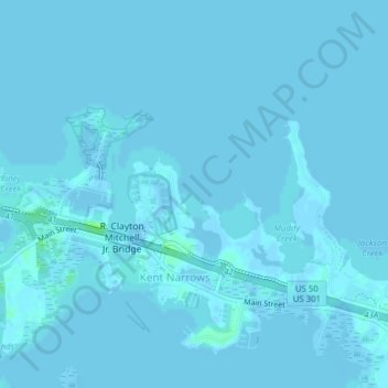
Name: Kent Narrows topographic map, elevation, terrain.

Location: Kent Narrows, Queen Anne's County, Maryland, United States (38.95952 -76.25847 38.98891 -76.21943)

Average elevation: 0 ft

Minimum elevation: -20 ft

Maximum elevation: 30 ft

Queen Anne's County trails, hiking, mountain biking, running and outdoor activities

Gear up for your next adventure:

🌲Outdoor Survival Books - Best books on survival skills
🎒Trekking Poles - Sturdy poles for balance and stability on rough terrain
🔦Powerful Headlamps - Ultra-bright hands-free lighting for night navigation
🥾Hiking Shoes - Durable and comfortable shoes for trail hiking
🎁Geography Themed Gifts - Unique gift ideas for map lovers and geography enthusiasts

As an Amazon Associate, this site earns from qualifying purchases at no extra cost to you.