Geolocate

Skinner Butte topographic map

Click on the map to display elevation.

About this map

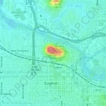
Name: Skinner Butte topographic map, elevation, terrain.

Location: Skinner Butte, Eugene, Lane County, Oregon, 97401, United States (44.05813 -123.09430 44.05823 -123.09420)

Average elevation: 427 ft

Minimum elevation: 384 ft

Maximum elevation: 643 ft

Lane County trails, hiking, mountain biking, running and outdoor activities

Other topographic maps

Click on a map to view its topography, its elevation and its terrain.

West Bank City Park

United States > Oregon > Lane County > Eugene

Average elevation: 410 ft

Gear up for your next adventure:

👖Convertible Hiking Pants - Versatile zip-off pants for changing altitudes and temperatures
💧Water Purification System - Clean water on the trail with reliable purifiers
🎒Outdoor Daypacks - Lightweight backpacks designed for carrying maps and essential gear
🛡️Bear Spray Outdoor - Protection in bear country hikes
🔋Rechargeable Batteries - Power up your outdoor devices

As an Amazon Associate, this site earns from qualifying purchases at no extra cost to you.