Geolocate

Tharad topographic map

Click on the map to display elevation.

About this map

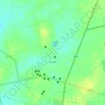
Name: Tharad topographic map, elevation, terrain.

Location: Tharad, Tharad Taluka, Banaskantha, Gujarat, 385565, India (24.38609 71.62120 24.39820 71.63780)

Average elevation: 171 ft

Minimum elevation: 135 ft

Maximum elevation: 200 ft

Gear up for your next adventure:

Backpacking Tents - Weight-optimized shelters for multi-day topographic surveys
📡Handheld GPS Device - Reliable handheld GPS for outdoor navigation
Backpacking Tent - Lightweight and durable tent for multi‑day hikes
📶Satellite Messenger - Communication device off‑grid
🔌USB Car Charger - Car charger for on‑the‑go power needs

As an Amazon Associate, this site earns from qualifying purchases at no extra cost to you.