
可考湖 topographic map
Interactive map
Click on the map to display elevation.
About this map
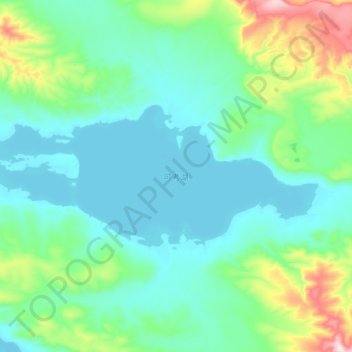
Name: 可考湖 topographic map, elevation, terrain.
Location: 可考湖, 索加乡, 治多县, 玉树藏族自治州, 青海省, 中国 (35.66241 91.25654 35.73240 91.46980)
Average elevation: 16,332 ft
Minimum elevation: 16,030 ft
Maximum elevation: 17,510 ft
Other topographic maps
Click on a map to view its topography, its elevation and its terrain.