
虾峙岛 topographic map
Interactive map
Click on the map to display elevation.
About this map
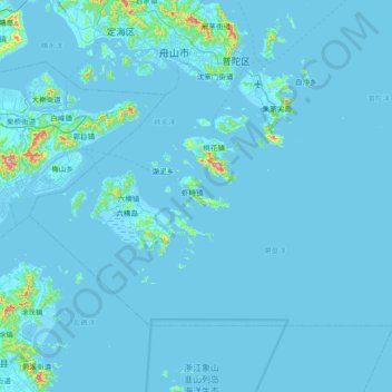
Name: 虾峙岛 topographic map, elevation, terrain.
Location: 虾峙岛, 普陀区, 舟山市, 浙江省, 中国 (29.43083 121.92535 30.07083 122.56535)
Average elevation: 43 ft
Minimum elevation: -20 ft
Maximum elevation: 1,755 ft
Other topographic maps
Click on a map to view its topography, its elevation and its terrain.