Geolocate

Laurel topographic map

Click on the map to display elevation.

About this map

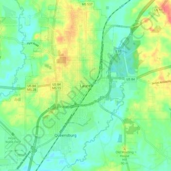
Name: Laurel topographic map, elevation, terrain.

Location: Laurel, Jones County, Mississippi, 39440, United States (31.65405 -89.17061 31.73405 -89.09061)

Average elevation: 253 ft

Minimum elevation: 190 ft

Maximum elevation: 364 ft

Jones County trails, hiking, mountain biking, running and outdoor activities

Gear up for your next adventure:

🪶Camping Sleeping Pad - Comfortable sleeping pad for backpacking
🚪Portable Camp Chair - Foldable chair for comfort at camp
🌎3D Topographic Globes - Raised relief globes for a tactile understanding of geography
🧤Hiking Gloves - Protective gloves for rugged trails
🥾Men's Hiking Boots - Durable, waterproof footwear for rugged terrain and steep inclines

As an Amazon Associate, this site earns from qualifying purchases at no extra cost to you.