
Thank you for supporting this site ❤️
Make a donation
Make a donation
Gear up for your next adventure:
As an Amazon Associate, this site earns from qualifying purchases at no extra cost to you.
Burwa topographic map
Click on the map to display elevation.
Thank you for supporting this site ❤️
Make a donation
Make a donation
Gear up for your next adventure:
As an Amazon Associate, this site earns from qualifying purchases at no extra cost to you.
About this map
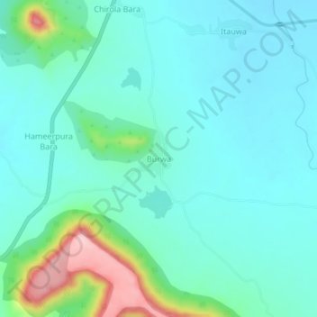
Name: Burwa topographic map, elevation, terrain.
Location: Burwa, Bagidora Tehsil, Banswara, Rajasthan, 327604, India (23.37530 74.33277 23.41530 74.37277)
Average elevation: 866 ft
Minimum elevation: 725 ft
Maximum elevation: 1,424 ft
Thank you for supporting this site ❤️
Make a donation
Make a donation
Gear up for your next adventure:
As an Amazon Associate, this site earns from qualifying purchases at no extra cost to you.