Geolocate

Balili topographic map

Click on the map to display elevation.

About this map

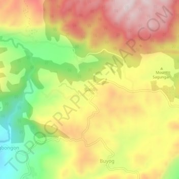
Name: Balili topographic map, elevation, terrain.

Location: Balili, Bohol, Central Visayas, 6308, Philippines (9.66168 124.30260 9.70168 124.34260)

Average elevation: 1,266 ft

Minimum elevation: 276 ft

Maximum elevation: 2,133 ft

Gear up for your next adventure:

🏔️Mountain Trail Maps - High‑detail maps for popular peaks
🧤Hiking Gloves - Protective gloves for rugged trails
Backpacking Tent - Lightweight and durable tent for multi‑day hikes
📦Gear Storage Bags - Organize and protect outdoor equipment
🌧️Backpack Rain Cover - Keep gear dry in wet weather

As an Amazon Associate, this site earns from qualifying purchases at no extra cost to you.