
Oakdale No. 320 topographic map
Interactive map
Click on the map to display elevation.
About this map
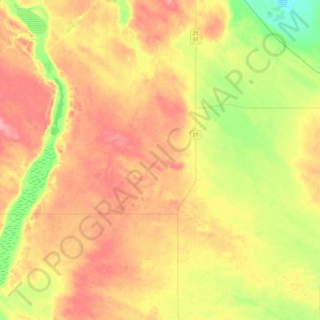
Name: Oakdale No. 320 topographic map, elevation, terrain.
Location: Oakdale No. 320, Saskatchewan, Canada (51.61983 -109.40662 51.88181 -108.98107)
Average elevation: 2,274 ft
Minimum elevation: 2,133 ft
Maximum elevation: 2,398 ft
Other topographic maps
Click on a map to view its topography, its elevation and its terrain.
Coleville
Canada > Saskatchewan > Oakdale No. 320 > Coleville
Coleville, Oakdale No. 320, Saskatchewan, Canada
Average elevation: 2,323 ft