Geolocate

Augusta Lake topographic map

Click on the map to display elevation.

About this map

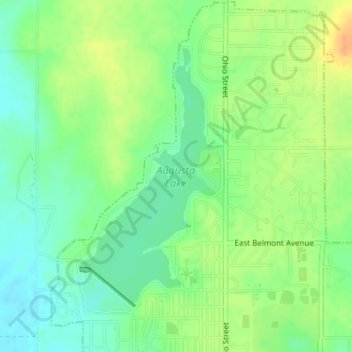
Name: Augusta Lake topographic map, elevation, terrain.

Location: Augusta Lake, Augusta, Butler County, Kansas, United States (37.69639 -96.98555 37.71605 -96.97170)

Average elevation: 1,273 ft

Minimum elevation: 1,224 ft

Maximum elevation: 1,335 ft

Butler County trails, hiking, mountain biking, running and outdoor activities

Gear up for your next adventure:

🪑Ultralight Camp Chairs - Portable seating for resting after a long day of mapping
📚Navigation Handbooks - Master the art of reading topographic maps and using a compass
🔭Compact Binoculars - HD vision for scouting terrain and identifying distant landmarks
🛶Inflatable Kayak - Portable kayak for rivers, lakes, and expeditions
🧣Merino Neck Gaiters - Multi-functional headwear for wind and sun protection

As an Amazon Associate, this site earns from qualifying purchases at no extra cost to you.