
Thank you for supporting this site ❤️
Make a donation
Make a donation
Gear up for your next adventure:
As an Amazon Associate, this site earns from qualifying purchases at no extra cost to you.
Dordon topographic map
Click on the map to display elevation.
Thank you for supporting this site ❤️
Make a donation
Make a donation
Gear up for your next adventure:
As an Amazon Associate, this site earns from qualifying purchases at no extra cost to you.
About this map
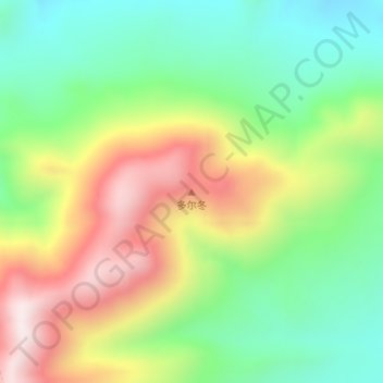
Name: Dordon topographic map, elevation, terrain.
Location: Dordon, Dongru, Rutog County, Ngari Prefecture, Tibet, China (34.53368 80.37509 34.53378 80.37519)
Average elevation: 17,986 ft
Minimum elevation: 17,116 ft
Maximum elevation: 19,245 ft
Thank you for supporting this site ❤️
Make a donation
Make a donation
Gear up for your next adventure:
As an Amazon Associate, this site earns from qualifying purchases at no extra cost to you.