Geolocate

Battambang topographic map

Click on the map to display elevation.

About this map

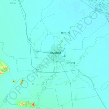
Name: Battambang topographic map, elevation, terrain.

Location: Battambang, 021402, Cambodia (12.93985 103.03667 13.25985 103.35667)

Average elevation: 46 ft

Minimum elevation: 16 ft

Maximum elevation: 673 ft

Gear up for your next adventure:

🪶Wildlife Field Guides - Learn animal tracking and species ID
🪶Thermal Camp Blanket - Extra warmth for cold nights
🧥Men's Rain Shells - Premium waterproof and breathable jackets for mountain weather
📚Navigation Handbooks - Master the art of reading topographic maps and using a compass
🔋Rechargeable Batteries - Power up your outdoor devices

As an Amazon Associate, this site earns from qualifying purchases at no extra cost to you.