
Jamestown topographic map
Click on the map to display elevation.
About this map
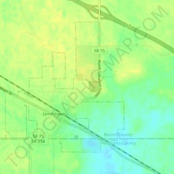
Name: Jamestown topographic map, elevation, terrain.
Location: Jamestown, Boone County, Indiana, United States (39.92068 -86.63875 39.94087 -86.61471)
Average elevation: 958 ft
Minimum elevation: 919 ft
Maximum elevation: 981 ft
Boone County trails, hiking, mountain biking, running and outdoor activities